

 United States
Company confirmed from its website. How we verify
Summit Terragraphics makes custom thermoformed raised-relief maps, built from aerial imagery or custom illustrations laid over a precise 3D terrain model. With nearly twenty years of experience, the company serves clients including the National Park Service, the U.S. Military, vineyards, resorts, watershed associations and individual landowners. It also sells pre-designed raised-relief maps for outdoor enthusiasts through its online store. All Summit maps are designed and produced in the United States.
Description based on the company's website.
Processes
Plastics processing Thermoforming
Products manufactured
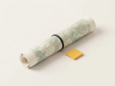
Product illustrations, until the company adds its own photos.
Tritonis verification index
How the index is calculatedLittle verifiable information so far. The company can complete its listing for free.
The factor-by-factor breakdown, the comparison of your suppliers and alerts are reserved for buyer accounts. See the details and compare
Request a quote
Describe what you need: your request is sent to Summit Terragraphics, who can reply to you directly.
Other suppliers: Printed wall maps and charts

See all suppliers of this product
Spotted an error on this listing?
Report it: we review every report, usually within two business days. No account is needed.
Recently viewed